


trail maxime

trailer.nono
User


Length
16.7 km

Max alt
375 m

Uphill gradient
877 m
Km-Effort
28 km

Min alt
59 m

Downhill gradient
879 m
Boucle
Yes
Creation date :
2015-05-10 00:00:00.0
Updated on :
2015-05-10 00:00:00.0
3h22
Difficulty : Difficult

FREE GPS app for hiking
 SityTrail
IGN / Geographical institutes
SityTrail Plus
The world is yours!
About
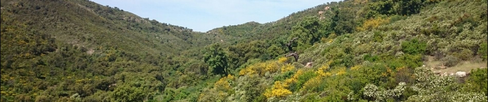
Trail Running of 16.7 km to be discovered at Provence-Alpes-Côte d'Azur, Var, Sainte-Maxime. This trail is proposed by trailer.nono.
Photos


Positioning
Country:
France
Region :
Provence-Alpes-Côte d'Azur
Department/Province :
Var
Municipality :
Sainte-Maxime
Location:
Unknown
Start:(Dec)
Start:(UTM)
308551 ; 4800978 (32T) N.
Comments
réservée au sportif confirmés.