


Sob 7 clery ferte St Cyr

Glurps
User
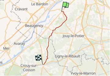

Length
24 km

Max alt
120 m

Uphill gradient
155 m
Km-Effort
26 km

Min alt
85 m

Downhill gradient
166 m
Boucle
No
Creation date :
2024-09-16 06:55:05.0
Updated on :
2024-09-16 13:54:59.187

FREE GPS app for hiking
 SityTrail
IGN / Geographical institutes
SityTrail Plus
The world is yours!
About
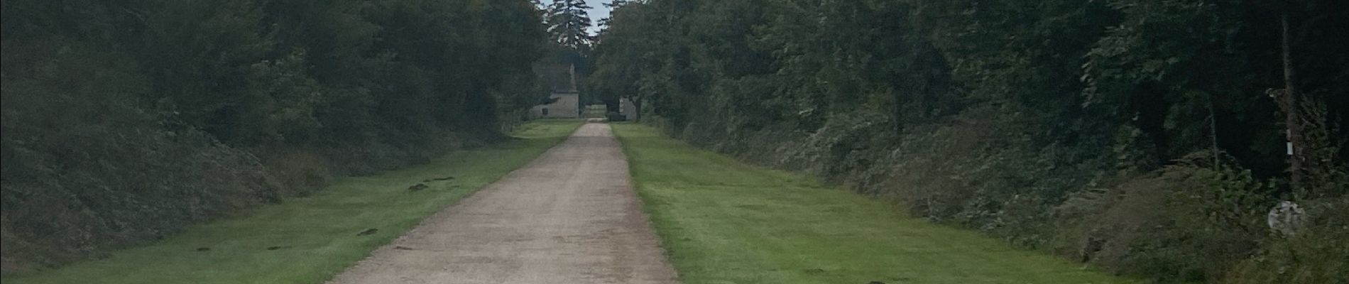
Trail of 24 km to be discovered at Centre-Loire Valley, Loiret, Cléry-Saint-André. This trail is proposed by Glurps.
Photos

Positioning
Country:
France
Region :
Centre-Loire Valley
Department/Province :
Loiret
Municipality :
Cléry-Saint-André
Location:
Unknown
Start:(Dec)
Start:(UTM)
406847 ; 5297083 (31T) N.
Comments