


Sob 9bis cheverny

Glurps
User
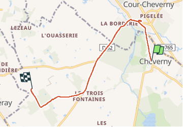

Length
5.6 km

Max alt
103 m

Uphill gradient
45 m
Km-Effort
6.2 km

Min alt
80 m

Downhill gradient
43 m
Boucle
No
Creation date :
2024-09-18 14:22:26.0
Updated on :
2024-09-18 16:21:48.754

FREE GPS app for hiking
 SityTrail
IGN / Geographical institutes
SityTrail Plus
The world is yours!
About
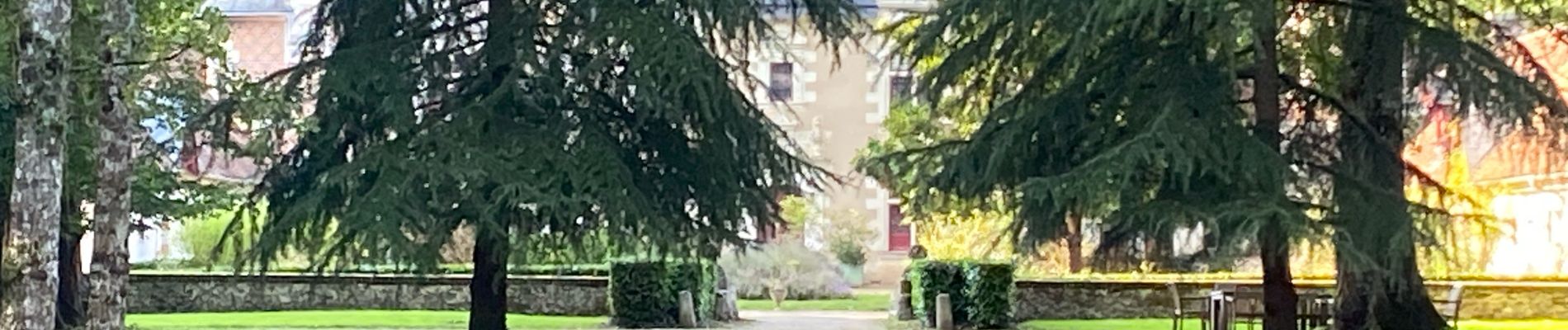
Trail of 5.6 km to be discovered at Centre-Loire Valley, Loir-et-Cher, Cheverny. This trail is proposed by Glurps.
Photos

Positioning
Country:
France
Region :
Centre-Loire Valley
Department/Province :
Loir-et-Cher
Municipality :
Cheverny
Location:
Unknown
Start:(Dec)
Start:(UTM)
384004 ; 5261835 (31T) N.
Comments