


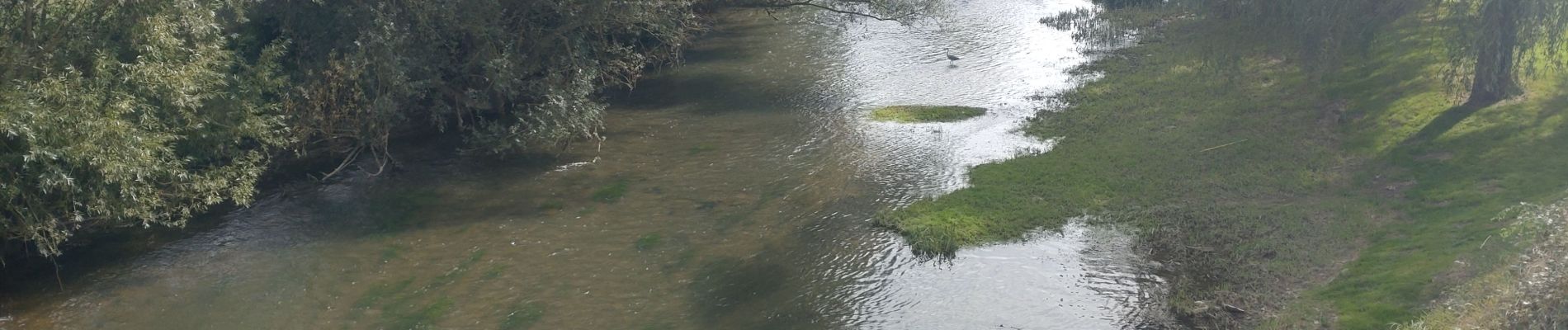
Tacot de l'yonne le long du Serein

Yannick89
User


Length
37 km

Max alt
216 m

Uphill gradient
440 m
Km-Effort
42 km

Min alt
129 m

Downhill gradient
439 m
Boucle
Yes
Creation date :
2024-09-20 11:40:57.896
Updated on :
2024-09-20 14:36:19.175
2h54
Difficulty : Easy

FREE GPS app for hiking
 SityTrail
IGN / Geographical institutes
SityTrail Plus
The world is yours!
About
Trail Mountain bike of 37 km to be discovered at Bourgogne-Franche-Comté, Yonne, Chablis. This trail is proposed by Yannick89.
Photos


Positioning
Country:
France
Region :
Bourgogne-Franche-Comté
Department/Province :
Yonne
Municipality :
Chablis
Location:
Unknown
Start:(Dec)
Start:(UTM)
560393 ; 5295888 (31T) N.
Comments