


Sob 11 chemery selles sur cher

Glurps
User
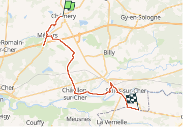

Length
24 km

Max alt
113 m

Uphill gradient
174 m
Km-Effort
27 km

Min alt
71 m

Downhill gradient
177 m
Boucle
No
Creation date :
2024-09-20 07:14:21.0
Updated on :
2024-09-20 16:22:13.027

FREE GPS app for hiking
 SityTrail
IGN / Geographical institutes
SityTrail Plus
The world is yours!
About
Trail of 24 km to be discovered at Centre-Loire Valley, Loir-et-Cher, Chémery. This trail is proposed by Glurps.
Description
Chemins barrés . Beaucoup de route du coup Détour ravitaillement à la fin
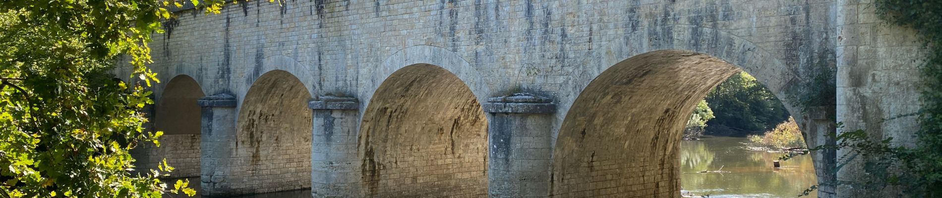
Photos


Positioning
Country:
France
Region :
Centre-Loire Valley
Department/Province :
Loir-et-Cher
Municipality :
Chémery
Location:
Unknown
Start:(Dec)
Start:(UTM)
385022 ; 5244614 (31T) N.
Comments