


BM

jeanmarcMasson
User GUIDE

Length
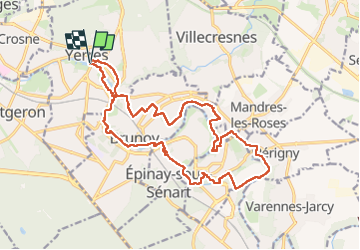
19.6 km

Max alt
89 m

Uphill gradient
234 m
Km-Effort
23 km

Min alt
37 m

Downhill gradient
235 m
Boucle
Yes
Creation date :
2024-09-22 07:32:16.0
Updated on :
2024-09-22 13:24:32.913

FREE GPS app for hiking
 SityTrail
IGN / Geographical institutes
SityTrail Plus
The world is yours!
About
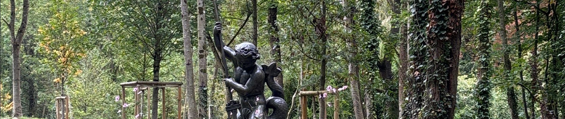
Trail of 19.6 km to be discovered at Ile-de-France, Essonne, Yerres. This trail is proposed by jeanmarcMasson.
Photos


41 photos in total. Please click on a photo to see them all in the gallery.
Positioning
Country:
France
Region :
Ile-de-France
Department/Province :
Essonne
Municipality :
Yerres
Location:
Unknown
Start:(Dec)
Start:(UTM)
462454 ; 5395875 (31U) N.
Comments