


pas de l 'escalette

labarone
User
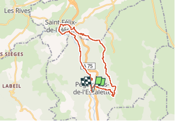

Length
17.6 km

Max alt
719 m

Uphill gradient
681 m
Km-Effort
27 km

Min alt
298 m

Downhill gradient
681 m
Boucle
Yes
Creation date :
2024-09-24 06:29:22.959
Updated on :
2024-09-24 13:42:49.241
7h11
Difficulty : Medium

FREE GPS app for hiking
 SityTrail
IGN / Geographical institutes
SityTrail Plus
The world is yours!
About
Trail Walking of 17.6 km to be discovered at Occitania, Hérault, Pégairolles-de-l'Escalette. This trail is proposed by labarone.
Description
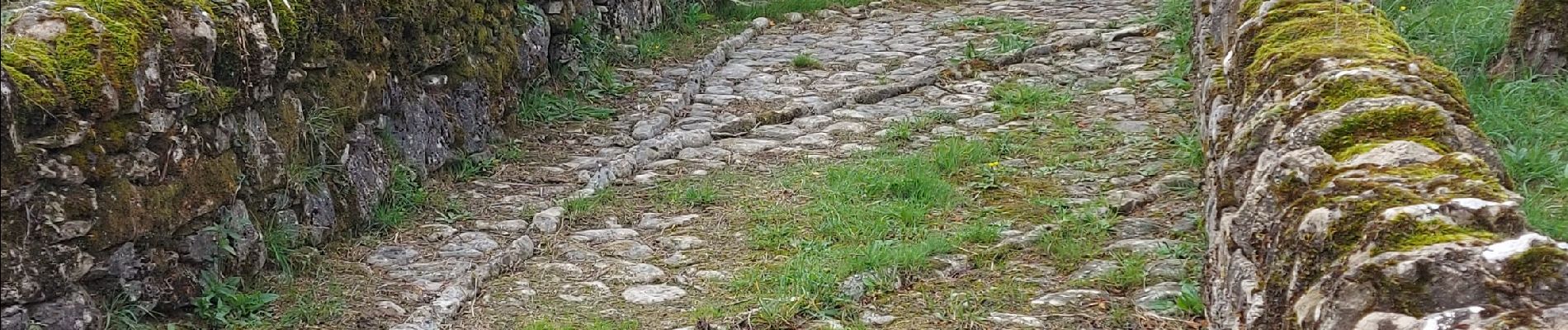
montées et descentes mais joli paysage
Photos


Positioning
Country:
France
Region :
Occitania
Department/Province :
Hérault
Municipality :
Pégairolles-de-l'Escalette
Location:
Unknown
Start:(Dec)
Start:(UTM)
526071 ; 4849793 (31T) N.
Comments