


bedous table

ISAGIL
User
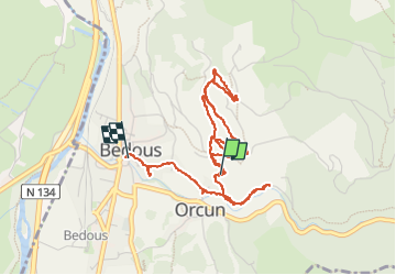

Length
5 km

Max alt
675 m

Uphill gradient
212 m
Km-Effort
8.1 km

Min alt
415 m

Downhill gradient
284 m
Boucle
No
Creation date :
2024-09-24 13:02:36.574
Updated on :
2024-09-24 16:12:37.862
3h09
Difficulty : Medium

FREE GPS app for hiking
 SityTrail
IGN / Geographical institutes
SityTrail Plus
The world is yours!
About
Trail Walking of 5 km to be discovered at New Aquitaine, Pyrénées-Atlantiques, Bedous. This trail is proposed by ISAGIL.
Description
table orientation
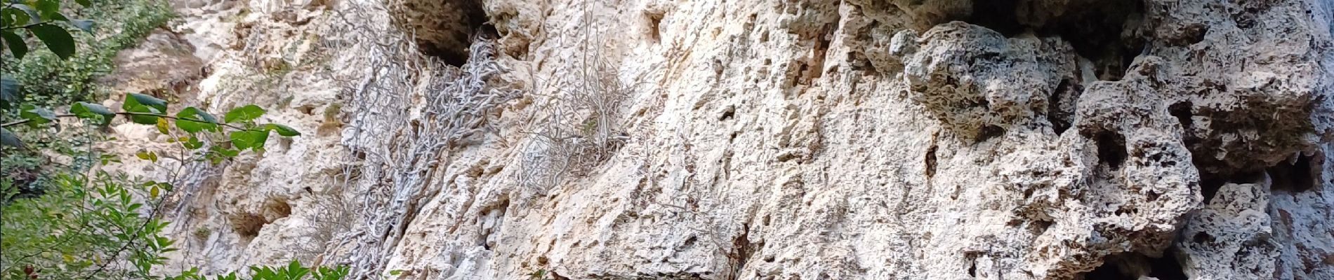
Photos


Positioning
Country:
France
Region :
New Aquitaine
Department/Province :
Pyrénées-Atlantiques
Municipality :
Bedous
Location:
Unknown
Start:(Dec)
Start:(UTM)
696192 ; 4763385 (30T) N.
Comments