


les bois de l abbaye

stef789
User GUIDE
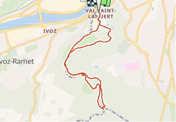

Length
9 km

Max alt
171 m

Uphill gradient
186 m
Km-Effort
11.4 km

Min alt
72 m

Downhill gradient
187 m
Boucle
Yes
Creation date :
2024-09-25 12:54:50.197
Updated on :
2024-09-25 15:45:22.386
2h49
Difficulty : Medium

FREE GPS app for hiking
 SityTrail
IGN / Geographical institutes
SityTrail Plus
The world is yours!
About
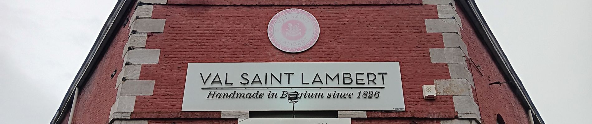
Trail Walking of 9 km to be discovered at Wallonia, Liège, Seraing. This trail is proposed by stef789.
Description
attention !!!!!!!!!
2 passages de rivière ET 2 passages de clôture
pour les éviter, à la photo du pont faites demi-tour
Photos


22 photos in total. Please click on a photo to see them all in the gallery.
Positioning
Country:
Belgium
Region :
Wallonia
Department/Province :
Liège
Municipality :
Seraing
Location:
Unknown
Start:(Dec)
Start:(UTM)
675660 ; 5607516 (31U) N.
Comments