


bedous lees athas

ISAGIL
User
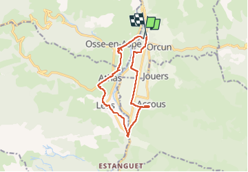

Length
13.3 km

Max alt
502 m

Uphill gradient
212 m
Km-Effort
16.1 km

Min alt
405 m

Downhill gradient
203 m
Boucle
Yes
Creation date :
2024-09-28 11:08:24.894
Updated on :
2024-09-28 15:55:01.393
1h56
Difficulty : Difficult

FREE GPS app for hiking
 SityTrail
IGN / Geographical institutes
SityTrail Plus
The world is yours!
About
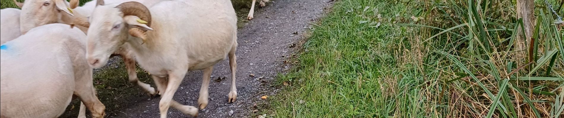
Trail Walking of 13.3 km to be discovered at New Aquitaine, Pyrénées-Atlantiques, Bedous. This trail is proposed by ISAGIL.
Description
Rando facile
Photos


Positioning
Country:
France
Region :
New Aquitaine
Department/Province :
Pyrénées-Atlantiques
Municipality :
Bedous
Location:
Unknown
Start:(Dec)
Start:(UTM)
695398 ; 4763461 (30T) N.
Comments