


Sob 17 argenton le menoux

Glurps
User
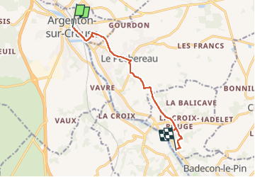

Length
8.3 km

Max alt
165 m

Uphill gradient
95 m
Km-Effort
9.5 km

Min alt
106 m

Downhill gradient
82 m
Boucle
No
Creation date :
2024-09-29 09:03:55.0
Updated on :
2024-09-29 11:07:52.275

FREE GPS app for hiking
 SityTrail
IGN / Geographical institutes
SityTrail Plus
The world is yours!
About
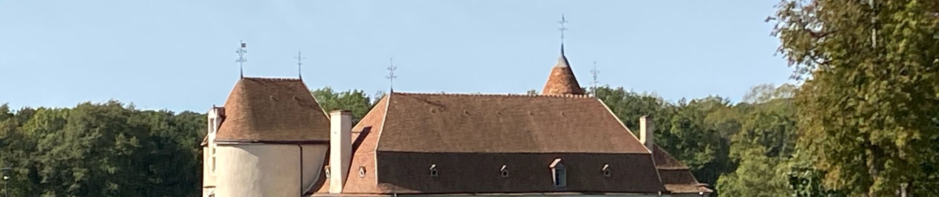
Trail of 8.3 km to be discovered at Centre-Loire Valley, Indre, Argenton-sur-Creuse. This trail is proposed by Glurps.
Photos

Positioning
Country:
France
Region :
Centre-Loire Valley
Department/Province :
Indre
Municipality :
Argenton-sur-Creuse
Location:
Unknown
Start:(Dec)
Start:(UTM)
386563 ; 5160528 (31T) N.
Comments