


Pic de Savis

c.chehere
User
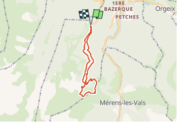

Length
12.7 km

Max alt
1939 m

Uphill gradient
590 m
Km-Effort
21 km

Min alt
1365 m

Downhill gradient
593 m
Boucle
Yes
Creation date :
2024-10-01 05:39:35.575
Updated on :
2024-10-01 12:02:33.634
4h22
Difficulty : Medium

FREE GPS app for hiking
 SityTrail
IGN / Geographical institutes
SityTrail Plus
The world is yours!
About
Trail Walking of 12.7 km to be discovered at Occitania, Ariège. This trail is proposed by c.chehere.
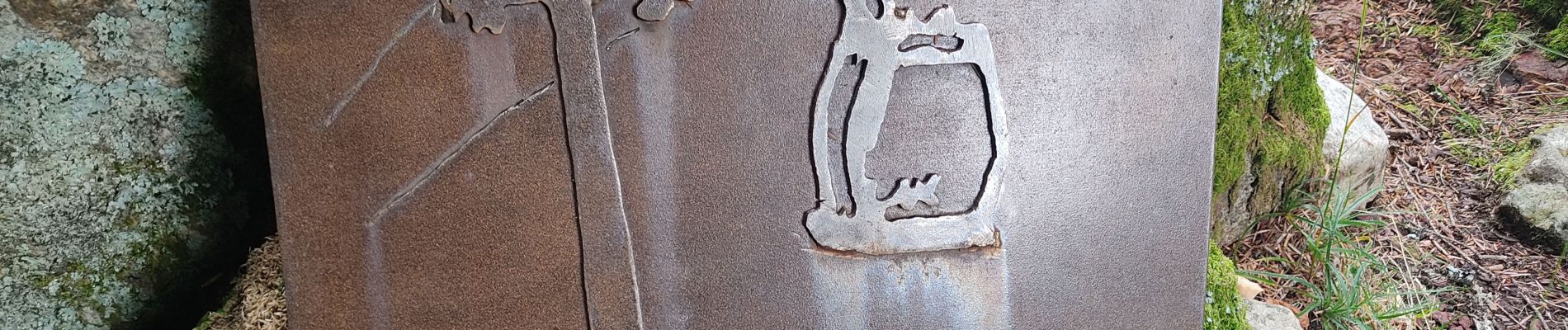
Photos


Positioning
Country:
France
Region :
Occitania
Department/Province :
Ariège
Municipality :
Unknown
Location:
Unknown
Start:(Dec)
Start:(UTM)
402952 ; 4728050 (31T) N.
Comments