


aumessas au col de mouzoules

labarone
User
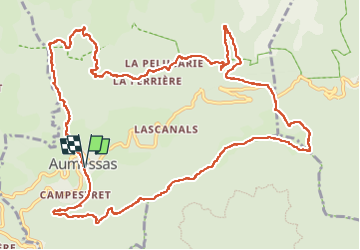

Length
16.1 km

Max alt
960 m

Uphill gradient
865 m
Km-Effort
28 km

Min alt
431 m

Downhill gradient
865 m
Boucle
Yes
Creation date :
2024-10-01 07:01:30.333
Updated on :
2024-10-01 14:39:37.237
7h07
Difficulty : Difficult

FREE GPS app for hiking
 SityTrail
IGN / Geographical institutes
SityTrail Plus
The world is yours!
About
Trail Walking of 16.1 km to be discovered at Occitania, Gard, Aumessas. This trail is proposed by labarone.
Description
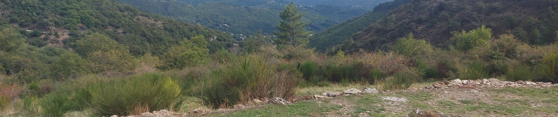
très belle rando à faire par bon randonneur.
très beau village au depart
Photos


Positioning
Country:
France
Region :
Occitania
Department/Province :
Gard
Municipality :
Aumessas
Location:
Unknown
Start:(Dec)
Start:(UTM)
540434 ; 4870970 (31T) N.
Comments