


Sob 20 crozant la souterraine

Glurps
User
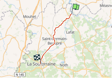

Length
25 km

Max alt
400 m

Uphill gradient
449 m
Km-Effort
30 km

Min alt
230 m

Downhill gradient
337 m
Boucle
No
Creation date :
2024-10-02 07:28:20.0
Updated on :
2024-10-02 15:23:27.68

FREE GPS app for hiking
 SityTrail
IGN / Geographical institutes
SityTrail Plus
The world is yours!
About
Trail of 25 km to be discovered at New Aquitaine, Creuse, Crozant. This trail is proposed by Glurps.
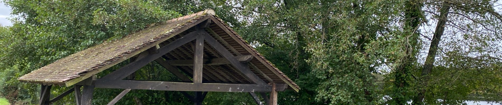
Photos


Positioning
Country:
France
Region :
New Aquitaine
Department/Province :
Creuse
Municipality :
Crozant
Location:
Unknown
Start:(Dec)
Start:(UTM)
394010 ; 5138503 (31T) N.
Comments