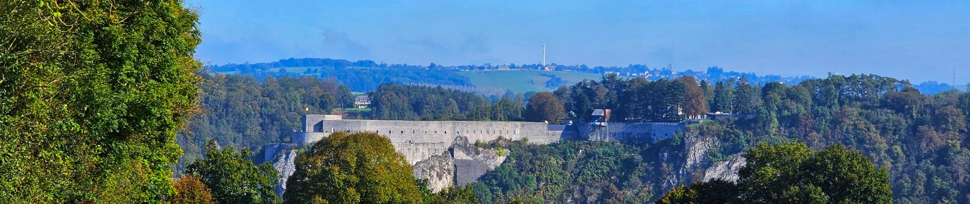
Balade à Dinant

Desrumaux
User GUIDE


2h11
Difficulty : Medium

FREE GPS app for hiking
 SityTrail
IGN / Geographical institutes
SityTrail Plus
The world is yours!
About
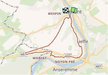
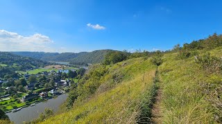
Trail Walking of 7.5 km to be discovered at Wallonia, Namur, Dinant. This trail is proposed by Desrumaux.
Description
Jolie balade mosane au départ de Dinant.
La promenade vous fera découvrir la réserve naturelle de Moniat avec son splendide panorama sur Anseremme, son port de plaisance et le prieuré un lieu unique pour l’organisation de fêtes et de réceptions.
La balade prend son départ devant l'office du tourisme de Dinant, Avenue Cadoux, 8 ou sur le parking de la Maison Leffe, Charreau des Capucines et terminez en visitant la Maison Leffe.
Balisage rectangle bleu.
Photos


26 photos in total. Please click on a photo to see them all in the gallery.
Positioning
Comments