


Circuit dans les maures

FSantoni
User
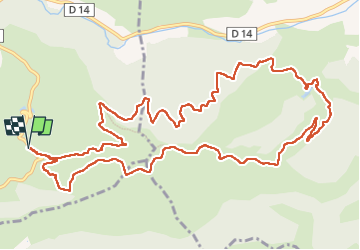

Length
15.5 km

Max alt
390 m

Uphill gradient
387 m
Km-Effort
21 km

Min alt
157 m

Downhill gradient
387 m
Boucle
Yes
Creation date :
2024-10-06 06:56:06.173
Updated on :
2024-10-06 16:23:08.188
5h21
Difficulty : Very difficult

FREE GPS app for hiking
 SityTrail
IGN / Geographical institutes
SityTrail Plus
The world is yours!
About
Trail Walking of 15.5 km to be discovered at Provence-Alpes-Côte d'Azur, Var, Pierrefeu-du-Var. This trail is proposed by FSantoni.
Description
Piste de Camp Bourjas, piste de la Rielle et piste du Temple.
Peu de dénivelé mais une balade trés agtéable dans les Maures.
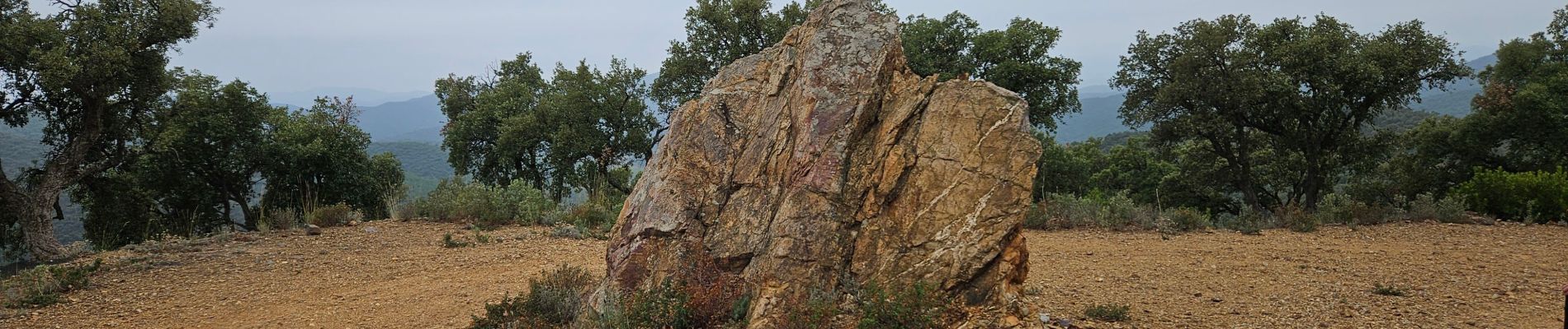
Photos


Positioning
Country:
France
Region :
Provence-Alpes-Côte d'Azur
Department/Province :
Var
Municipality :
Pierrefeu-du-Var
Location:
Unknown
Start:(Dec)
Start:(UTM)
274212 ; 4788616 (32T) N.
Comments