


Sob 22 bourganeuf peyrat

Glurps
User
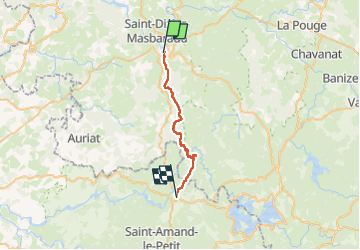

Length
23 km

Max alt
647 m

Uphill gradient
620 m
Km-Effort
31 km

Min alt
409 m

Downhill gradient
632 m
Boucle
No
Creation date :
2024-10-06 06:33:37.0
Updated on :
2024-10-07 06:08:01.521

FREE GPS app for hiking
 SityTrail
IGN / Geographical institutes
SityTrail Plus
The world is yours!
About
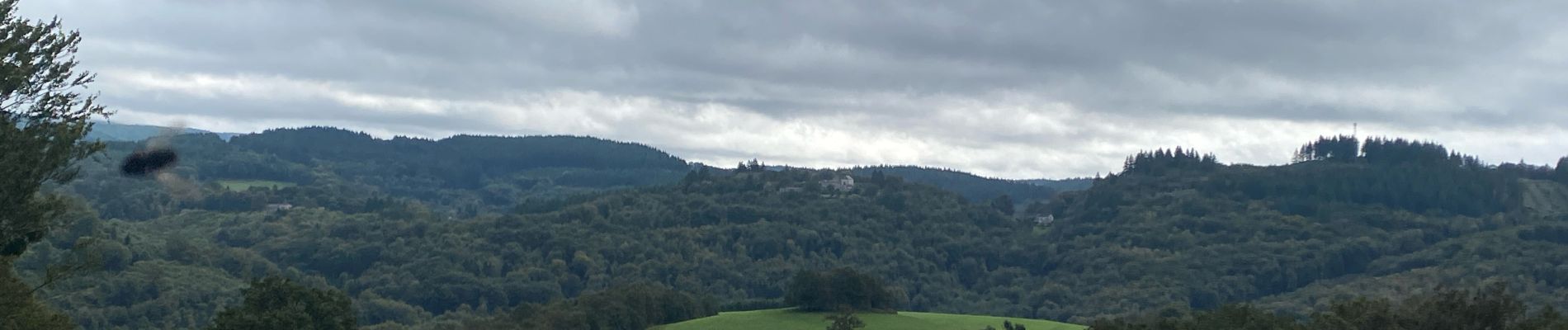
Trail of 23 km to be discovered at New Aquitaine, Creuse, Bourganeuf. This trail is proposed by Glurps.
Photos


Positioning
Country:
France
Region :
New Aquitaine
Department/Province :
Creuse
Municipality :
Bourganeuf
Location:
Unknown
Start:(Dec)
Start:(UTM)
403430 ; 5089649 (31T) N.
Comments