


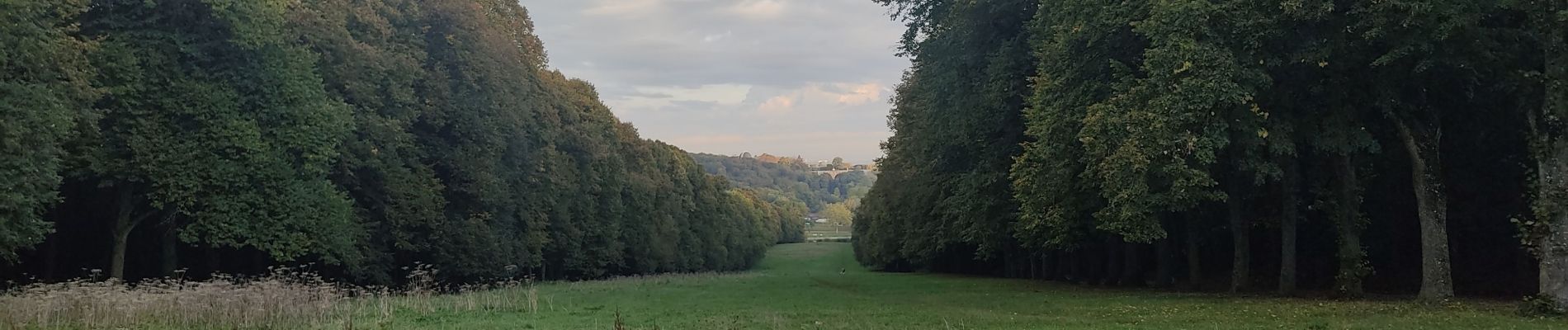
Meudon châtaignes

c.chehere
User
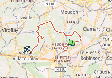

Length
12.6 km

Max alt
186 m

Uphill gradient
194 m
Km-Effort
15.2 km

Min alt
112 m

Downhill gradient
192 m
Boucle
No
Creation date :
2024-10-14 06:35:40.808
Updated on :
2024-10-14 13:20:45.327
3h27
Difficulty : Easy

FREE GPS app for hiking
 SityTrail
IGN / Geographical institutes
SityTrail Plus
The world is yours!
About
Trail Walking of 12.6 km to be discovered at Ile-de-France, Hauts-de-Seine, Clamart. This trail is proposed by c.chehere.
Photos


Positioning
Country:
France
Region :
Ile-de-France
Department/Province :
Hauts-de-Seine
Municipality :
Clamart
Location:
Unknown
Start:(Dec)
Start:(UTM)
443941 ; 5403835 (31U) N.
Comments