


Malonne 151024

guyernage25
User
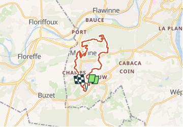

Length
11.9 km

Max alt
203 m

Uphill gradient
303 m
Km-Effort
16 km

Min alt
89 m

Downhill gradient
302 m
Boucle
Yes
Creation date :
2024-10-15 11:15:17.096
Updated on :
2024-10-15 14:32:02.544
3h15
Difficulty : Medium

FREE GPS app for hiking
 SityTrail
IGN / Geographical institutes
SityTrail Plus
The world is yours!
About
Trail Walking of 11.9 km to be discovered at Wallonia, Namur, Namur. This trail is proposed by guyernage25.
Description
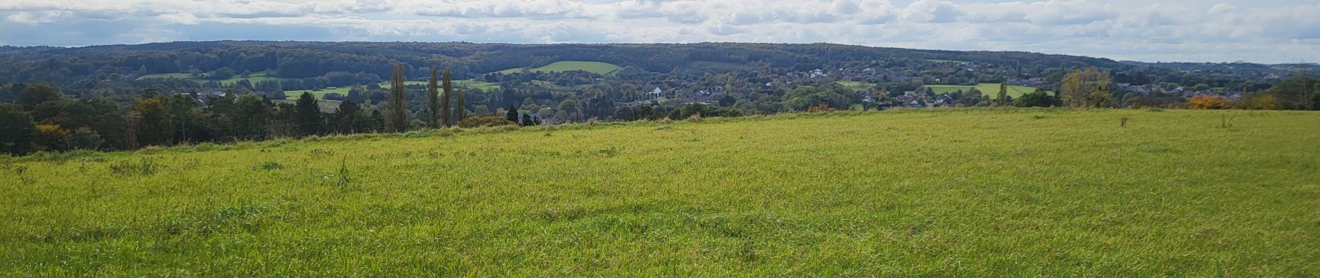
Belle rando vers le fort de Malonne. Beaux sentiers et montagnes russes
Photos


25 photos in total. Please click on a photo to see them all in the gallery.
Positioning
Country:
Belgium
Region :
Wallonia
Department/Province :
Namur
Municipality :
Namur
Location:
Malonne
Start:(Dec)
Start:(UTM)
627781 ; 5587080 (31U) N.
Comments