


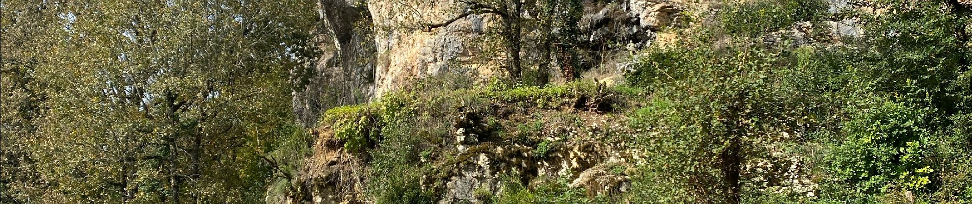
Sob martel rocamadour

Glurps
User
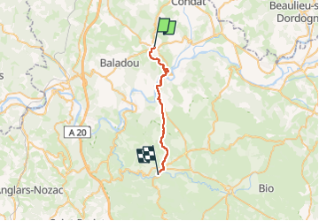

Length
23 km

Max alt
301 m

Uphill gradient
458 m
Km-Effort
30 km

Min alt
103 m

Downhill gradient
500 m
Boucle
No
Creation date :
2024-10-15 08:04:59.0
Updated on :
2024-10-15 15:55:01.019

FREE GPS app for hiking
 SityTrail
IGN / Geographical institutes
SityTrail Plus
The world is yours!
About
Trail of 23 km to be discovered at Occitania, Lot, Martel. This trail is proposed by Glurps.
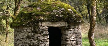
Photos


Positioning
Country:
France
Region :
Occitania
Department/Province :
Lot
Municipality :
Martel
Location:
Unknown
Start:(Dec)
Start:(UTM)
390411 ; 4977244 (31T) N.
Comments