


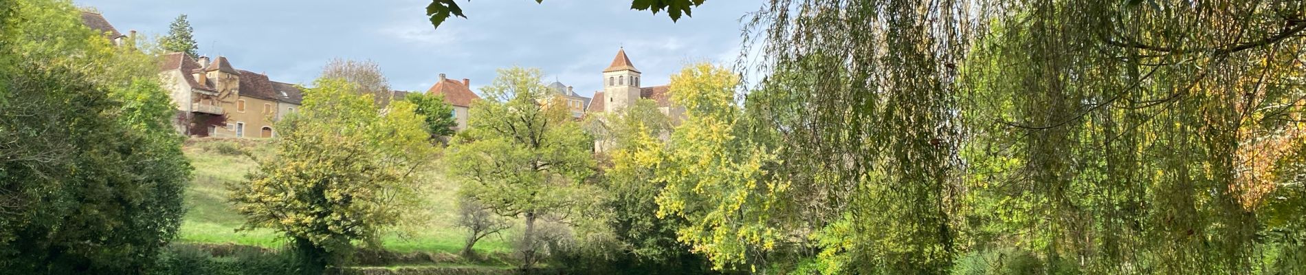
Sob rocamadour la bastide

Glurps
User
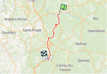

Length
26 km

Max alt
449 m

Uphill gradient
794 m
Km-Effort
36 km

Min alt
136 m

Downhill gradient
514 m
Boucle
No
Creation date :
2024-10-16 06:43:38.0
Updated on :
2024-10-16 15:48:55.18

FREE GPS app for hiking
 SityTrail
IGN / Geographical institutes
SityTrail Plus
The world is yours!
About
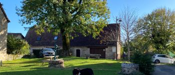
Trail of 26 km to be discovered at Occitania, Lot, Rocamadour. This trail is proposed by Glurps.
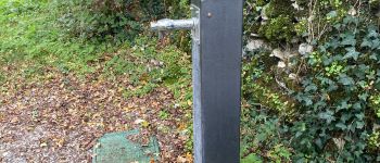
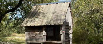
Photos


Positioning
Country:
France
Region :
Occitania
Department/Province :
Lot
Municipality :
Rocamadour
Location:
Unknown
Start:(Dec)
Start:(UTM)
390612 ; 4961445 (31T) N.
Comments