


Sob Lalbenque Bourdaou

Glurps
User
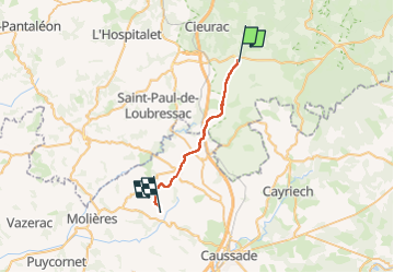

Length
22 km

Max alt
291 m

Uphill gradient
319 m
Km-Effort
26 km

Min alt
160 m

Downhill gradient
412 m
Boucle
No
Creation date :
2024-10-19 06:36:40.0
Updated on :
2024-10-19 12:49:13.848

FREE GPS app for hiking
 SityTrail
IGN / Geographical institutes
SityTrail Plus
The world is yours!
About
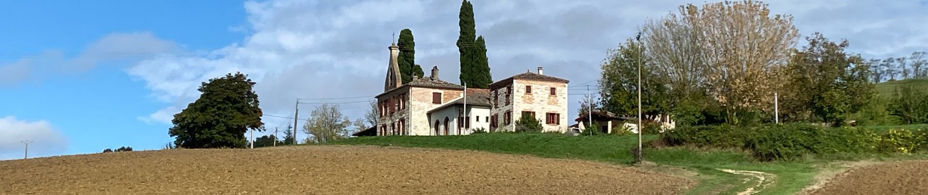
Trail of 22 km to be discovered at Occitania, Lot, Lalbenque. This trail is proposed by Glurps.
Photos

Positioning
Country:
France
Region :
Occitania
Department/Province :
Lot
Municipality :
Lalbenque
Location:
Unknown
Start:(Dec)
Start:(UTM)
384359 ; 4910139 (31T) N.
Comments