


241020 lurieq la goutte

Julliengamo
User
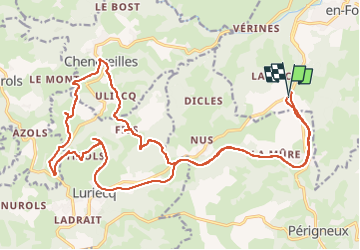

Length
28 km

Max alt
783 m

Uphill gradient
535 m
Km-Effort
35 km

Min alt
558 m

Downhill gradient
536 m
Boucle
Yes
Creation date :
2024-10-19 13:11:03.6
Updated on :
2024-10-19 15:45:12.803
2h33
Difficulty : Easy

FREE GPS app for hiking
 SityTrail
IGN / Geographical institutes
SityTrail Plus
The world is yours!
About
Trail Mountain bike of 28 km to be discovered at Auvergne-Rhône-Alpes, Loire, Saint-Marcellin-en-Forez. This trail is proposed by Julliengamo.
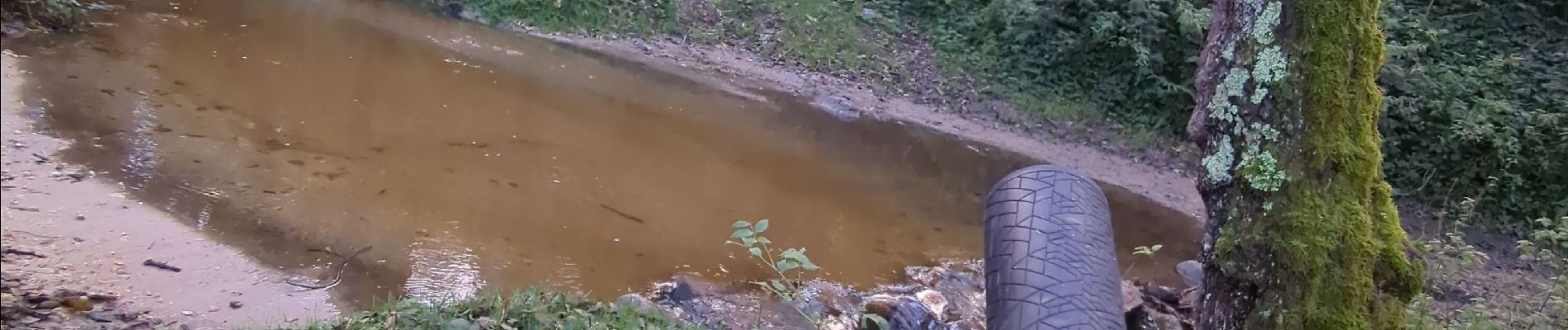
Photos


Positioning
Country:
France
Region :
Auvergne-Rhône-Alpes
Department/Province :
Loire
Municipality :
Saint-Marcellin-en-Forez
Location:
Unknown
Start:(Dec)
Start:(UTM)
589500 ; 5036245 (31T) N.
Comments