


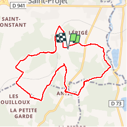
Les hauts de Saulniere par chez Rabaud

alainjoseph6
User

Length
10.4 km

Max alt
125 m

Uphill gradient
119 m
Km-Effort
12 km

Min alt
85 m

Downhill gradient
119 m
Boucle
Yes
Creation date :
2015-05-21 00:00:00.0
Updated on :
2019-02-03 19:03:28.412
2h37
Difficulty : Easy

FREE GPS app for hiking
 SityTrail
IGN / Geographical institutes
SityTrail Plus
The world is yours!
About
Trail Walking of 10.4 km to be discovered at New Aquitaine, Charente, La Rochefoucauld-en-Angoumois. This trail is proposed by alainjoseph6.
Description
Une balade sympathique entre St Projet et Bunzac
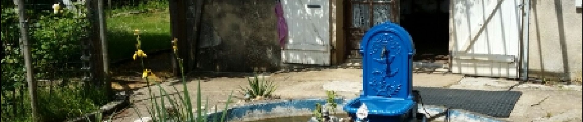
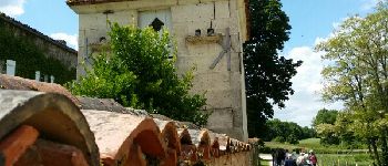
Photos


Positioning
Country:
France
Region :
New Aquitaine
Department/Province :
Charente
Municipality :
La Rochefoucauld-en-Angoumois
Location:
Saint-Projet-Saint-Constant
Start:(Dec)
Start:(UTM)
295055 ; 5066923 (31T) N.
Comments