


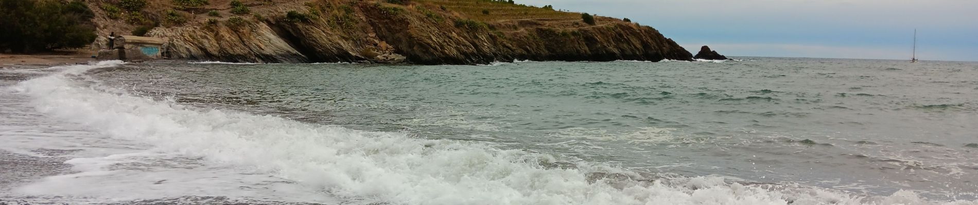
anse des paulliles - cap bear via les vignes retour par le chemin côtier

stef789
User GUIDE
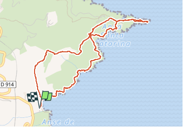

Length
6 km

Max alt
87 m

Uphill gradient
202 m
Km-Effort
8.6 km

Min alt
0 m

Downhill gradient
201 m
Boucle
Yes
Creation date :
2024-10-26 12:26:34.372
Updated on :
2024-10-26 17:41:05.279
3h07
Difficulty : Medium

FREE GPS app for hiking
 SityTrail
IGN / Geographical institutes
SityTrail Plus
The world is yours!
About
Trail Walking of 6 km to be discovered at Occitania, Pyrénées-Orientales, Port-Vendres. This trail is proposed by stef789.
Photos


32 photos in total. Please click on a photo to see them all in the gallery.
Positioning
Country:
France
Region :
Occitania
Department/Province :
Pyrénées-Orientales
Municipality :
Port-Vendres
Location:
Unknown
Start:(Dec)
Start:(UTM)
510063 ; 4705841 (31T) N.
Comments