


Vinay-variante plateau de la Blache (par Bressot et Faye)

crocau
User
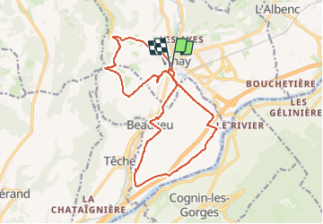

Length
18.4 km

Max alt
395 m

Uphill gradient
236 m
Km-Effort
22 km

Min alt
225 m

Downhill gradient
233 m
Boucle
Yes
Creation date :
2024-10-27 08:54:18.645
Updated on :
2024-11-02 16:18:46.738
1h23
Difficulty : Very easy

FREE GPS app for hiking
 SityTrail
IGN / Geographical institutes
SityTrail Plus
The world is yours!
About
Trail Mountain bike of 18.4 km to be discovered at Auvergne-Rhône-Alpes, Isère, Vinay. This trail is proposed by crocau.
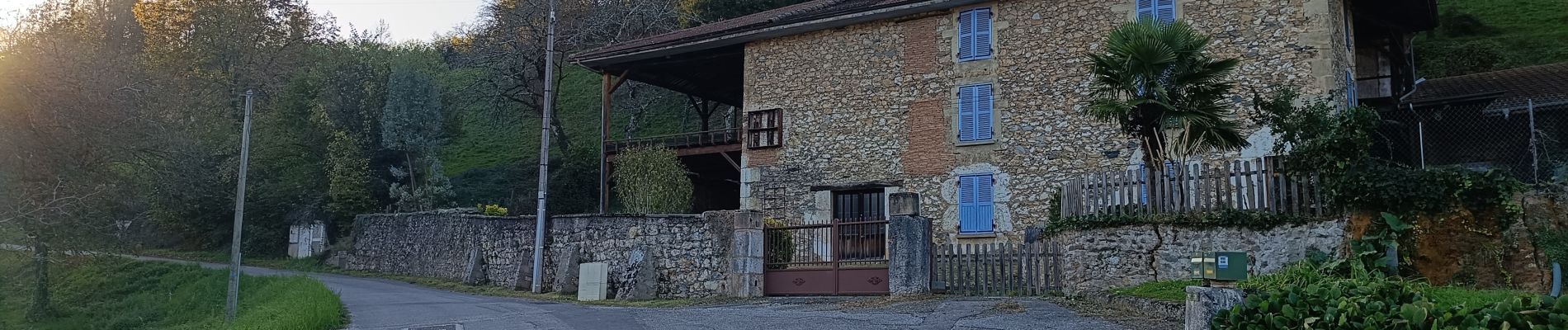
Photos
 - Photo 1")
 - Photo 2")
 - Photo 3")
 - Photo 4")
 - Photo 5")
 - Photo 6")
 - Photo 7")
 - Photo 8")
 - Photo 9")
 - Photo 10")
 - Photo 11")
 - Photo 12")
Positioning
Country:
France
Region :
Auvergne-Rhône-Alpes
Department/Province :
Isère
Municipality :
Vinay
Location:
Unknown
Start:(Dec)
Start:(UTM)
688502 ; 5008874 (31T) N.
Comments