


mas larrieux automnal rive elne

stef789
User GUIDE
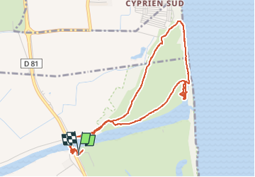

Length
5.6 km

Max alt
6 m

Uphill gradient
18 m
Km-Effort
5.8 km

Min alt
-1 m

Downhill gradient
18 m
Boucle
Yes
Creation date :
2024-10-30 14:30:21.661
Updated on :
2024-10-30 16:08:44.155
1h38
Difficulty : Very easy

FREE GPS app for hiking
 SityTrail
IGN / Geographical institutes
SityTrail Plus
The world is yours!
About
Trail Walking of 5.6 km to be discovered at Occitania, Pyrénées-Orientales, Argelès-sur-Mer. This trail is proposed by stef789.
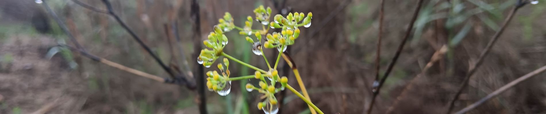
Photos


23 photos in total. Please click on a photo to see them all in the gallery.
Positioning
Country:
France
Region :
Occitania
Department/Province :
Pyrénées-Orientales
Municipality :
Argelès-sur-Mer
Location:
Unknown
Start:(Dec)
Start:(UTM)
502544 ; 4714744 (31T) N.
Comments