


Forteresse de Mornas

alinetpierre
User
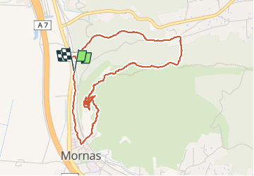

Length
5.1 km

Max alt
183 m

Uphill gradient
156 m
Km-Effort
7.1 km

Min alt
41 m

Downhill gradient
155 m
Boucle
Yes
Creation date :
2024-11-03 10:58:33.0
Updated on :
2024-11-03 13:40:22.136

FREE GPS app for hiking
 SityTrail
IGN / Geographical institutes
SityTrail Plus
The world is yours!
About
Trail of 5.1 km to be discovered at Provence-Alpes-Côte d'Azur, Vaucluse, Mornas. This trail is proposed by alinetpierre.
Description
Mornas et sa Forteresse très belle restauration mais ouverte toute l’année, fermée de novembre à avril. Très beau panorama sur la vallée du Rhône, le Ventoux, les dentelles de Montmirail .
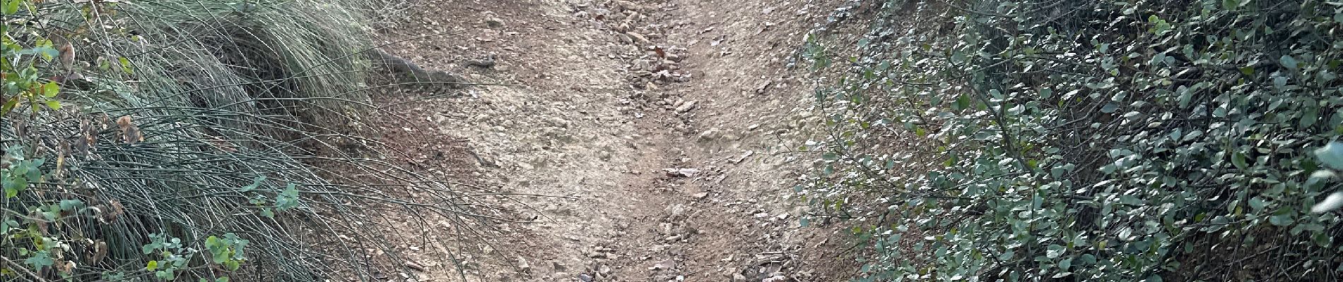
Photos


Positioning
Country:
France
Region :
Provence-Alpes-Côte d'Azur
Department/Province :
Vaucluse
Municipality :
Mornas
Location:
Unknown
Start:(Dec)
Start:(UTM)
638028 ; 4896464 (31T) N.
Comments