


Rando Ballancourt 15 km BM

jeanmarcMasson
User GUIDE
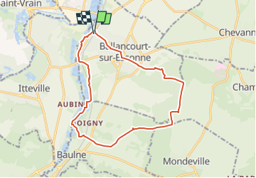

Length
14.8 km

Max alt
151 m

Uphill gradient
152 m
Km-Effort
16.9 km

Min alt
47 m

Downhill gradient
152 m
Boucle
Yes
Creation date :
2024-11-03 09:11:36.433
Updated on :
2024-11-12 21:20:50.695
3h50
Difficulty : Difficult

FREE GPS app for hiking
 SityTrail
IGN / Geographical institutes
SityTrail Plus
The world is yours!
About
Trail Walking of 14.8 km to be discovered at Ile-de-France, Essonne, Ballancourt-sur-Essonne. This trail is proposed by jeanmarcMasson.
Description
Départ de la gare de Ballancourt
Pique-Nique dans cabane de chasseurs à 7,5 km
Passage auprès des Roches du Père la Musique à environ 12 km
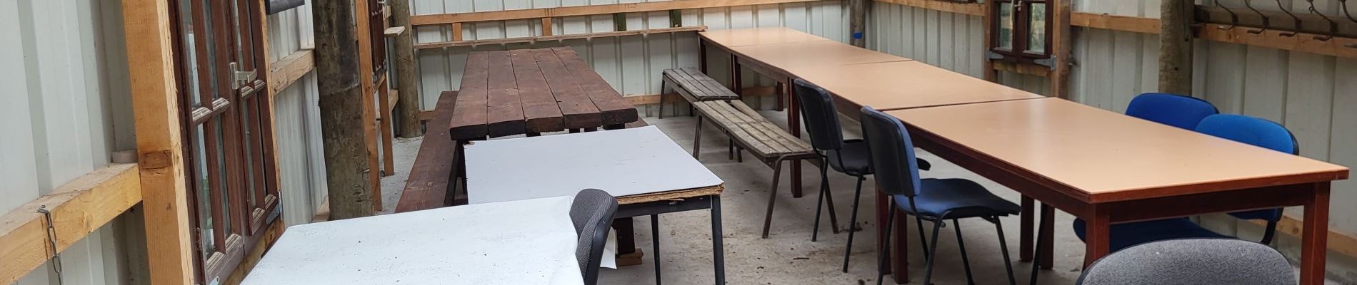
Photos


Positioning
Country:
France
Region :
Ile-de-France
Department/Province :
Essonne
Municipality :
Ballancourt-sur-Essonne
Location:
Unknown
Start:(Dec)
Start:(UTM)
453580 ; 5375602 (31U) N.
Comments