


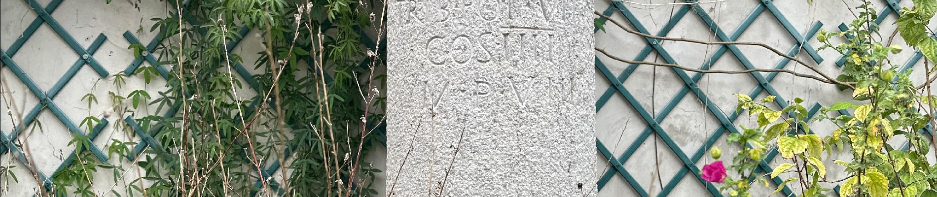
Château de Rochemaure, Pic de Chenavari.

alinetpierre
User
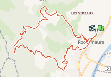

Length
16.6 km

Max alt
491 m

Uphill gradient
728 m
Km-Effort
26 km

Min alt
74 m

Downhill gradient
727 m
Boucle
Yes
Creation date :
2024-11-04 07:43:27.0
Updated on :
2024-11-05 07:33:13.628
5h58
Difficulty : Difficult

FREE GPS app for hiking
 SityTrail
IGN / Geographical institutes
SityTrail Plus
The world is yours!
About
Trail Walking of 16.6 km to be discovered at Auvergne-Rhône-Alpes, Ardèche, Rochemaure. This trail is proposed by alinetpierre.
Description
Très belle randonnée entre le château et la vie médiévale et le modernisme de la Vallée du Rhône, et entre la vie d’en haut et d’en bas.
Photos


Positioning
Country:
France
Region :
Auvergne-Rhône-Alpes
Department/Province :
Ardèche
Municipality :
Rochemaure
Location:
Unknown
Start:(Dec)
Start:(UTM)
635467 ; 4938847 (31T) N.
Comments