


241118 Hamois

guy284
User
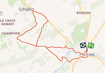

Length
10.3 km

Max alt
285 m

Uphill gradient
138 m
Km-Effort
12.1 km

Min alt
239 m

Downhill gradient
139 m
Boucle
Yes
Creation date :
2024-11-18 13:03:42.615
Updated on :
2024-11-18 18:46:18.962
2h45
Difficulty : Difficult

FREE GPS app for hiking
 SityTrail
IGN / Geographical institutes
SityTrail Plus
The world is yours!
About
Trail Walking of 10.3 km to be discovered at Wallonia, Namur, Hamois. This trail is proposed by guy284.
Positioning
Country:
Belgium
Region :
Wallonia
Department/Province :
Namur
Municipality :
Hamois
Location:
Unknown
Start:(Dec)
Start:(UTM)
653645 ; 5578855 (31U) N.
Comments