


St cassien / friaoud

Michel DUBOIS
User
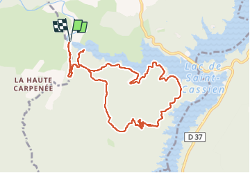

Length
11.6 km

Max alt
321 m

Uphill gradient
298 m
Km-Effort
15.6 km

Min alt
147 m

Downhill gradient
300 m
Boucle
Yes
Creation date :
2024-11-18 08:44:57.717
Updated on :
2024-11-18 19:00:08.578
2h41
Difficulty : Medium

FREE GPS app for hiking
 SityTrail
IGN / Geographical institutes
SityTrail Plus
The world is yours!
About
Trail Walking of 11.6 km to be discovered at Provence-Alpes-Côte d'Azur, Var, Montauroux. This trail is proposed by Michel DUBOIS.
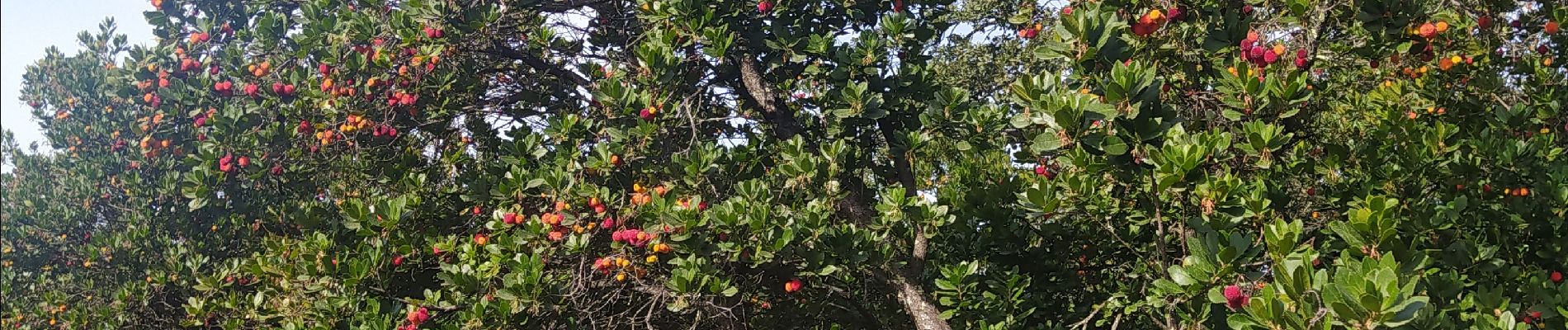
Photos


Positioning
Country:
France
Region :
Provence-Alpes-Côte d'Azur
Department/Province :
Var
Municipality :
Montauroux
Location:
Unknown
Start:(Dec)
Start:(UTM)
320124 ; 4828405 (32T) N.
Comments