


Aujargues Villevieille

Dupuybadonniere
User
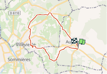

Length
8.5 km

Max alt
101 m

Uphill gradient
103 m
Km-Effort
9.9 km

Min alt
49 m

Downhill gradient
103 m
Boucle
Yes
Creation date :
2024-11-19 13:07:08.959
Updated on :
2024-11-19 15:52:22.422
2h10
Difficulty : Medium

FREE GPS app for hiking
 SityTrail
IGN / Geographical institutes
SityTrail Plus
The world is yours!
About
Trail Walking of 8.5 km to be discovered at Occitania, Gard, Aujargues. This trail is proposed by Dupuybadonniere.
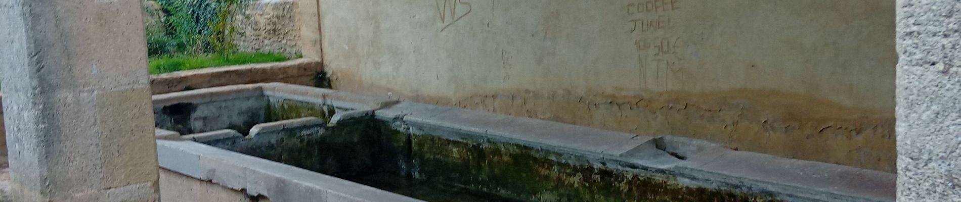
Photos

Positioning
Country:
France
Region :
Occitania
Department/Province :
Gard
Municipality :
Aujargues
Location:
Unknown
Start:(Dec)
Start:(UTM)
590400 ; 4848846 (31T) N.
Comments