


Rando Yerres Crosne Brunoy 12,5 km

jeanmarcMasson
User GUIDE
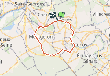

Length
12.6 km

Max alt
95 m

Uphill gradient
98 m
Km-Effort
13.9 km

Min alt
31 m

Downhill gradient
97 m
Boucle
Yes
Creation date :
2024-11-20 08:15:00.457
Updated on :
2025-01-07 09:10:12.59
3h09
Difficulty : Difficult

FREE GPS app for hiking
 SityTrail
IGN / Geographical institutes
SityTrail Plus
The world is yours!
About
Trail Walking of 12.6 km to be discovered at Ile-de-France, Essonne, Yerres. This trail is proposed by jeanmarcMasson.
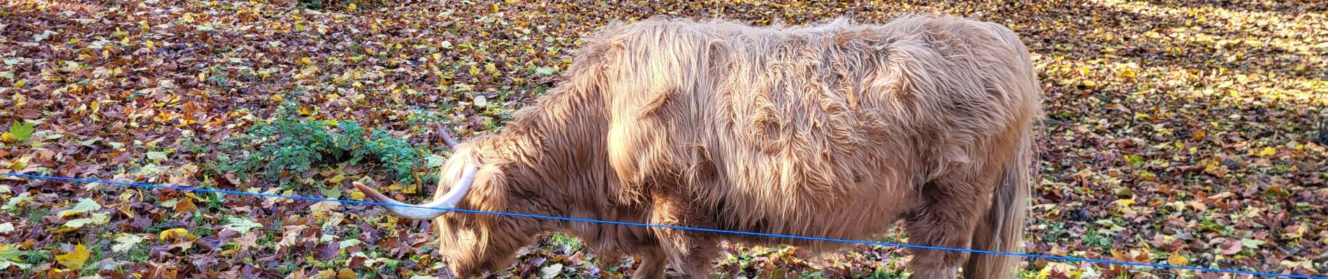
Photos


Positioning
Country:
France
Region :
Ile-de-France
Department/Province :
Essonne
Municipality :
Yerres
Location:
Unknown
Start:(Dec)
Start:(UTM)
461682 ; 5395916 (31U) N.
Comments