


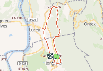
Jongieux les Echellettes Crémon

michel.pegaz
User

Length
7.4 km

Max alt
466 m

Uphill gradient
235 m
Km-Effort
10.5 km

Min alt
276 m

Downhill gradient
232 m
Boucle
Yes
Creation date :
2024-11-25 10:45:51.638
Updated on :
2024-11-25 11:01:21.467
2h23
Difficulty : Medium

FREE GPS app for hiking
 SityTrail
IGN / Geographical institutes
SityTrail Plus
The world is yours!
About
Trail Walking of 7.4 km to be discovered at Auvergne-Rhône-Alpes, Savoy, Jongieux. This trail is proposed by michel.pegaz.
Positioning
Country:
France
Region :
Auvergne-Rhône-Alpes
Department/Province :
Savoy
Municipality :
Jongieux
Location:
Unknown
Start:(Dec)
Start:(UTM)
717691 ; 5068700 (31T) N.
Comments