


Givry Balade Saint Martin page 101

grasgilbert
User
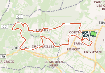

Length
12.1 km

Max alt
416 m

Uphill gradient
336 m
Km-Effort
16.6 km

Min alt
224 m

Downhill gradient
337 m
Boucle
Yes
Creation date :
2024-11-28 12:24:15.218
Updated on :
2024-11-28 17:02:55.078
3h45
Difficulty : Difficult

FREE GPS app for hiking
 SityTrail
IGN / Geographical institutes
SityTrail Plus
The world is yours!
About
Trail Walking of 12.1 km to be discovered at Bourgogne-Franche-Comté, Saône-et-Loire, Givry. This trail is proposed by grasgilbert.
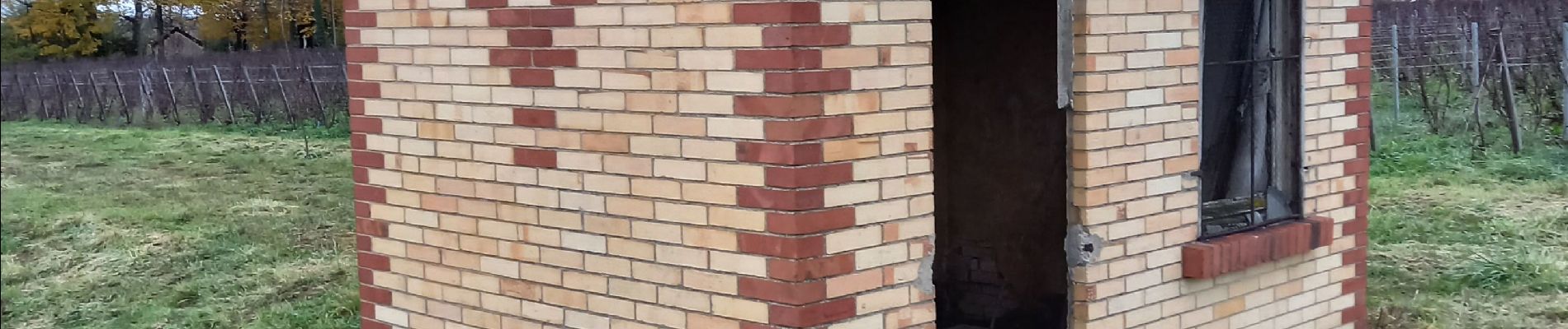
Photos

Positioning
Country:
France
Region :
Bourgogne-Franche-Comté
Department/Province :
Saône-et-Loire
Municipality :
Givry
Location:
Unknown
Start:(Dec)
Start:(UTM)
632422 ; 5181711 (31T) N.
Comments