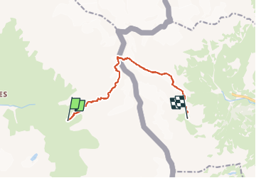
Trail  Bessans - J2 - Photo
 dansanet
dansanet

User

© OpenStreetMap contributors
Length
Length
9.2 km
Boucle
Boucle
No
Creation date :
2024-12-09 07:51:03.259
Updated on :
2024-12-09 07:51:03.259

(0 Reviews)


Scan this QR Code to open this trail in the SityTrail application

FREE GPS app for hiking

Logo SityTrail SityTrail

IGN / Geographical institutes

Download SityTrail from the App Store Download SityTrail from Google Play

Logo SityTrail SityTrail Plus

The world is yours!

Download SityTrail from the App Store Download SityTrail from Google Play Download SityTrail on Huawei AppGallery

About

Trail of 9.2 km to be discovered at Auvergne-Rhône-Alpes, Savoy, Bessans. This trail is proposed by dansanet.

Elevation profile

Points of interest

Point of interest Balme - Rifugio Gastaldi - Photo
dansanet
Point of interest Bessans - Collerin - Photo
dansanet
BESSANS 
Point of interest Bessans - Refuge d'Averole - Photo
dansanet

Positioning

Country:
France
Region :
Auvergne-Rhône-Alpes
Department/Province :
Savoy
Municipality :
Bessans
Location:
Unknown
Start:(UTM)
349857 ; 5017777 (32T) N.


Close
My subscriptions