


comblain la tour . hoyemont . oneux . comblain la tour

stef789
User GUIDE


Length
11.7 km

Max alt
297 m

Uphill gradient
229 m
Km-Effort
14.7 km

Min alt
104 m

Downhill gradient
230 m
Boucle
Yes
Creation date :
2024-12-13 12:32:32.162
Updated on :
2024-12-13 16:32:31.197
3h59
Difficulty : Easy

FREE GPS app for hiking
 SityTrail
IGN / Geographical institutes
SityTrail Plus
The world is yours!
About
Trail Walking of 11.7 km to be discovered at Wallonia, Liège, Hamoir. This trail is proposed by stef789.
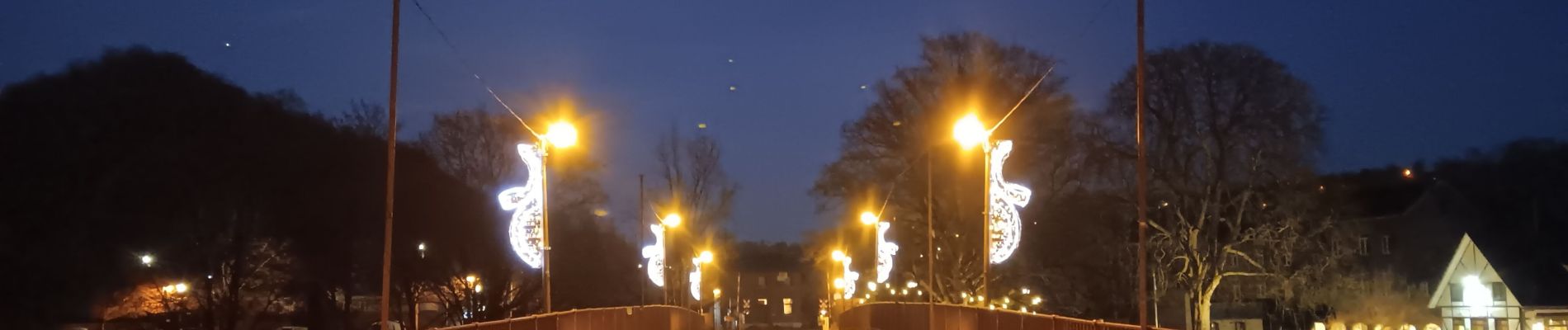
Photos


35 photos in total. Please click on a photo to see them all in the gallery.
Positioning
Country:
Belgium
Region :
Wallonia
Department/Province :
Liège
Municipality :
Hamoir
Location:
Unknown
Start:(Dec)
Start:(UTM)
682141 ; 5592373 (31U) N.
Comments