


Rando Nocturne copains

jeanmarcMasson
User GUIDE

Length
14 km

Max alt
129 m

Uphill gradient
220 m
Km-Effort
16.8 km

Min alt
22 m

Downhill gradient
189 m
Boucle
No
Creation date :
2024-12-15 16:18:53.268
Updated on :
2024-12-15 21:21:40.191
3h33
Difficulty : Difficult

FREE GPS app for hiking
 SityTrail
IGN / Geographical institutes
SityTrail Plus
The world is yours!
About
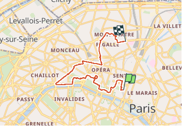
Trail Walking of 14 km to be discovered at Ile-de-France, Paris, Paris. This trail is proposed by jeanmarcMasson.
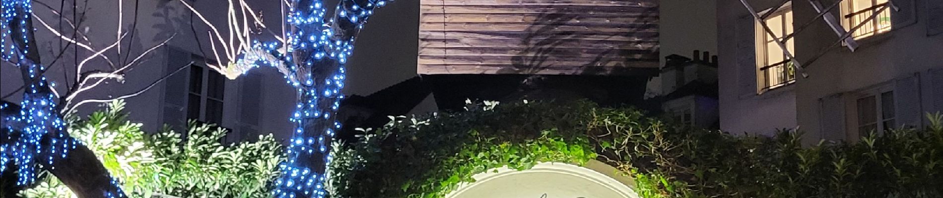
Photos


Positioning
Country:
France
Region :
Ile-de-France
Department/Province :
Paris
Municipality :
Paris
Location:
1st Arrondissement
Start:(Dec)
Start:(UTM)
452163 ; 5412293 (31U) N.
Comments