


La forêt de St Germain

c.chehere
User
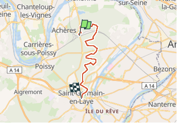

Length
17 km

Max alt
97 m

Uphill gradient
175 m
Km-Effort
19.2 km

Min alt
39 m

Downhill gradient
120 m
Boucle
No
Creation date :
2024-12-16 07:35:18.966
Updated on :
2024-12-16 15:16:50.137
5h42
Difficulty : Very difficult

FREE GPS app for hiking
 SityTrail
IGN / Geographical institutes
SityTrail Plus
The world is yours!
About
Trail Walking of 17 km to be discovered at Ile-de-France, Yvelines, Saint-Germain-en-Laye. This trail is proposed by c.chehere.
Description
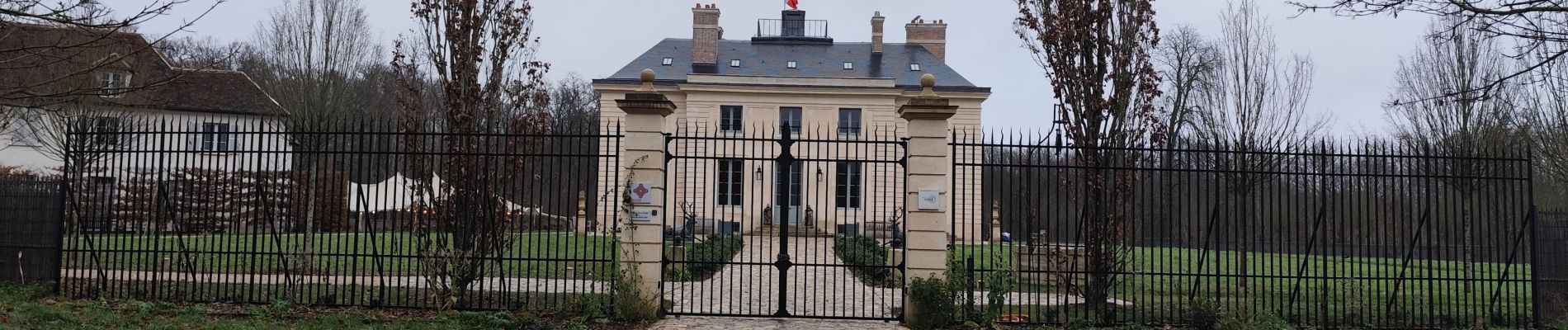
De la gare "Achères grand cormier" RER A à la gare RER A "St Germain en Laye"
Photos


Positioning
Country:
France
Region :
Ile-de-France
Department/Province :
Yvelines
Municipality :
Saint-Germain-en-Laye
Location:
Saint-Germain-en-Laye
Start:(Dec)
Start:(UTM)
433525 ; 5422880 (31U) N.
Comments