


tourniquet au sart-tilman

stef789
User GUIDE
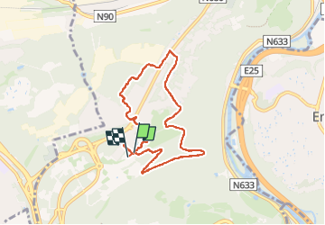

Length
6.9 km

Max alt
244 m

Uphill gradient
99 m
Km-Effort
8.2 km

Min alt
200 m

Downhill gradient
96 m
Boucle
Yes
Creation date :
2024-12-20 13:28:54.244
Updated on :
2024-12-20 15:28:54.654
1h56
Difficulty : Very easy

FREE GPS app for hiking
 SityTrail
IGN / Geographical institutes
SityTrail Plus
The world is yours!
About
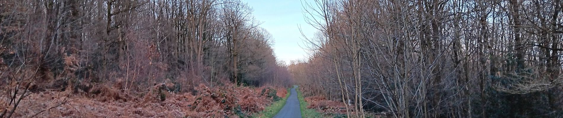
Trail Walking of 6.9 km to be discovered at Wallonia, Liège, Liège. This trail is proposed by stef789.
Photos


Positioning
Country:
Belgium
Region :
Wallonia
Department/Province :
Liège
Municipality :
Liège
Location:
Unknown
Start:(Dec)
Start:(UTM)
682017 ; 5607085 (31U) N.
Comments