


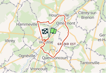
vezelise omelmont houdreville

ISAGIL
User

Length
13.7 km

Max alt
312 m

Uphill gradient
195 m
Km-Effort
16.3 km

Min alt
240 m

Downhill gradient
195 m
Boucle
Yes
Creation date :
2024-12-24 12:25:36.232
Updated on :
2024-12-24 16:04:15.764
3h37
Difficulty : Difficult

FREE GPS app for hiking
 SityTrail
IGN / Geographical institutes
SityTrail Plus
The world is yours!
About
Trail Walking of 13.7 km to be discovered at Grand Est, Meurthe-et-Moselle, Vézelise. This trail is proposed by ISAGIL.
Description
boucle vezelise
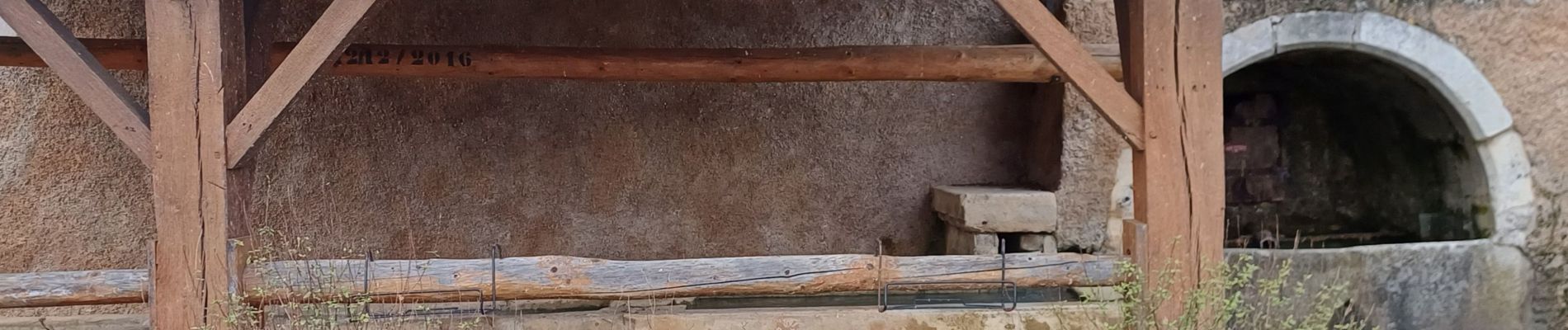
Photos


Positioning
Country:
France
Region :
Grand Est
Department/Province :
Meurthe-et-Moselle
Municipality :
Vézelise
Location:
Unknown
Start:(Dec)
Start:(UTM)
285213 ; 5374774 (32U) N.
Comments