


plateau de valensole . ravin des cognets . ravin de la combe

stef789
User GUIDE

Length
11.2 km

Max alt
615 m

Uphill gradient
140 m
Km-Effort
13.1 km

Min alt
489 m

Downhill gradient
141 m
Boucle
Yes
Creation date :
2024-12-27 13:07:25.475
Updated on :
2024-12-27 17:43:49.451
4h11
Difficulty : Easy

FREE GPS app for hiking
 SityTrail
IGN / Geographical institutes
SityTrail Plus
The world is yours!
About
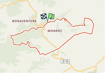
Trail Walking of 11.2 km to be discovered at Provence-Alpes-Côte d'Azur, Alpes-de-Haute-Provence, Valensole. This trail is proposed by stef789.
Photos


33 photos in total. Please click on a photo to see them all in the gallery.
Positioning
Country:
France
Region :
Provence-Alpes-Côte d'Azur
Department/Province :
Alpes-de-Haute-Provence
Municipality :
Valensole
Location:
Unknown
Start:(Dec)
Start:(UTM)
737824 ; 4861133 (31T) N.
Comments