


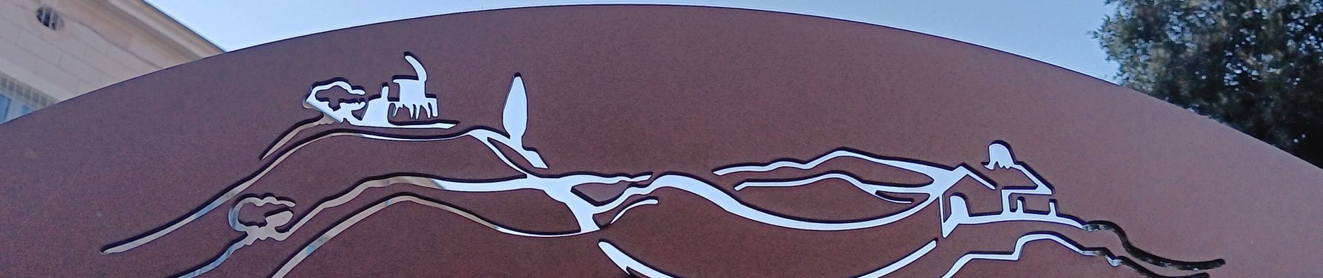
forcalquier,les mourres

stef789
User GUIDE
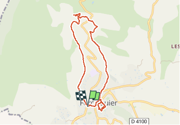

Length
8.6 km

Max alt
734 m

Uphill gradient
288 m
Km-Effort
12.5 km

Min alt
531 m

Downhill gradient
289 m
Boucle
Yes
Creation date :
2024-12-30 11:47:57.149
Updated on :
2024-12-30 16:17:59.888
4h29
Difficulty : Easy

FREE GPS app for hiking
 SityTrail
IGN / Geographical institutes
SityTrail Plus
The world is yours!
About
Trail Walking of 8.6 km to be discovered at Provence-Alpes-Côte d'Azur, Alpes-de-Haute-Provence, Forcalquier. This trail is proposed by stef789.
Photos


53 photos in total. Please click on a photo to see them all in the gallery.
Positioning
Country:
France
Region :
Provence-Alpes-Côte d'Azur
Department/Province :
Alpes-de-Haute-Provence
Municipality :
Forcalquier
Location:
Unknown
Start:(Dec)
Start:(UTM)
722789 ; 4870921 (31T) N.
Comments