


Corsuet chemin du Rossignol

michel.pegaz
User
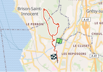

Length
6.3 km

Max alt
487 m

Uphill gradient
248 m
Km-Effort
9.6 km

Min alt
244 m

Downhill gradient
255 m
Boucle
No
Creation date :
2024-12-31 14:14:33.0
Updated on :
2024-12-31 16:10:41.494

FREE GPS app for hiking
 SityTrail
IGN / Geographical institutes
SityTrail Plus
The world is yours!
About
Trail of 6.3 km to be discovered at Auvergne-Rhône-Alpes, Savoy, Aix-les-Bains. This trail is proposed by michel.pegaz.
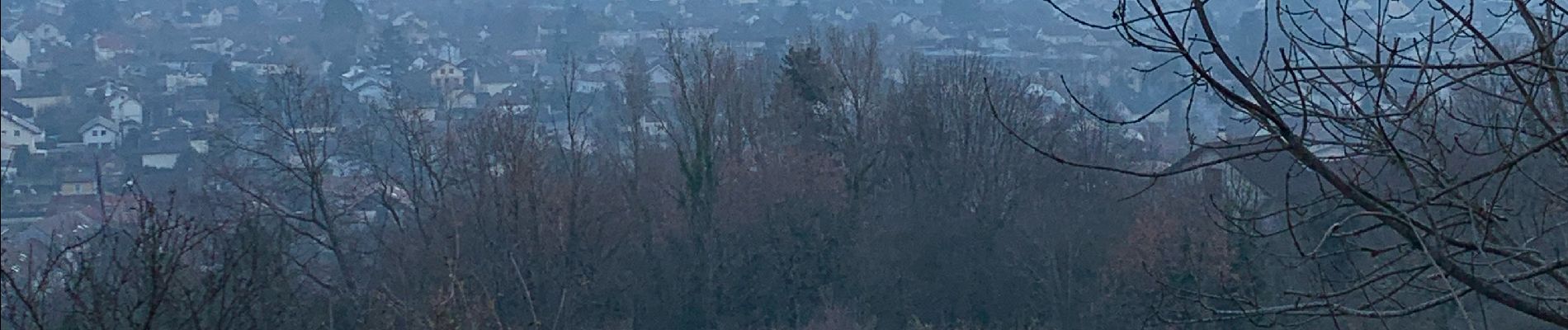
Photos


Positioning
Country:
France
Region :
Auvergne-Rhône-Alpes
Department/Province :
Savoy
Municipality :
Aix-les-Bains
Location:
Unknown
Start:(Dec)
Start:(UTM)
726159 ; 5065515 (31T) N.
Comments