


Beuzec falaise beuzec

Thierry Deppe
User
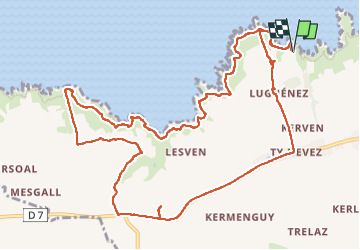

Length
13.7 km

Max alt
96 m

Uphill gradient
288 m
Km-Effort
17.5 km

Min alt
8 m

Downhill gradient
291 m
Boucle
Yes
Creation date :
2025-01-01 11:01:28.0
Updated on :
2025-01-01 15:46:10.056
3h57
Difficulty : Difficult

FREE GPS app for hiking
 SityTrail
IGN / Geographical institutes
SityTrail Plus
The world is yours!
About
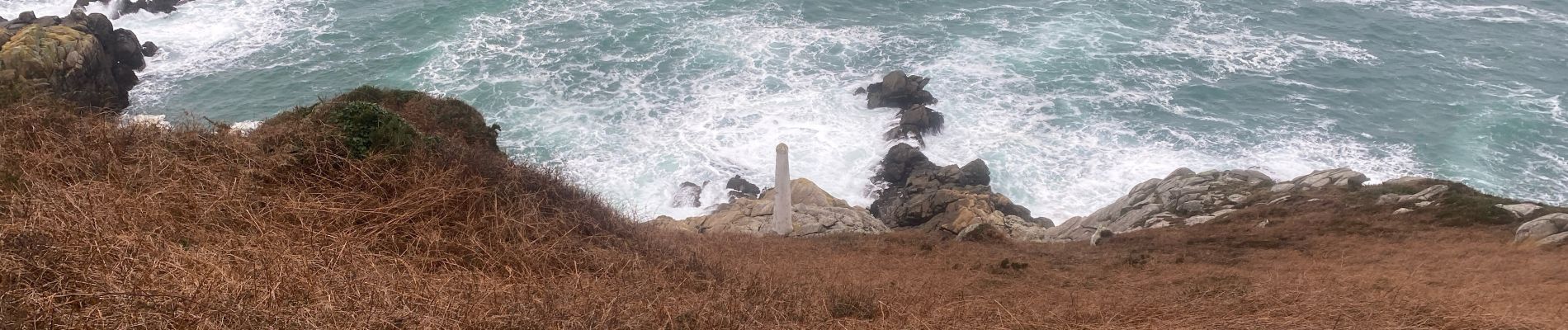
Trail Walking of 13.7 km to be discovered at Brittany, Finistère, Beuzec-Cap-Sizun. This trail is proposed by Thierry Deppe.
Description
Pas pour les débutants ..
Photos


22 photos in total. Please click on a photo to see them all in the gallery.
Positioning
Country:
France
Region :
Brittany
Department/Province :
Finistère
Municipality :
Beuzec-Cap-Sizun
Location:
Unknown
Start:(Dec)
Start:(UTM)
386101 ; 5326977 (30U) N.
Comments