


Antheit 070125

guyernage25
User

Length
11.9 km

Max alt
212 m

Uphill gradient
260 m
Km-Effort
15.4 km

Min alt
93 m

Downhill gradient
260 m
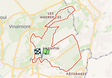
Boucle
Yes
Creation date :
2025-01-07 09:38:08.015
Updated on :
2025-01-07 13:03:53.149
3h25
Difficulty : Medium

FREE GPS app for hiking
 SityTrail
IGN / Geographical institutes
SityTrail Plus
The world is yours!
About
Trail Walking of 11.9 km to be discovered at Wallonia, Liège, Wanze. This trail is proposed by guyernage25.
Description
Belle rando champetre
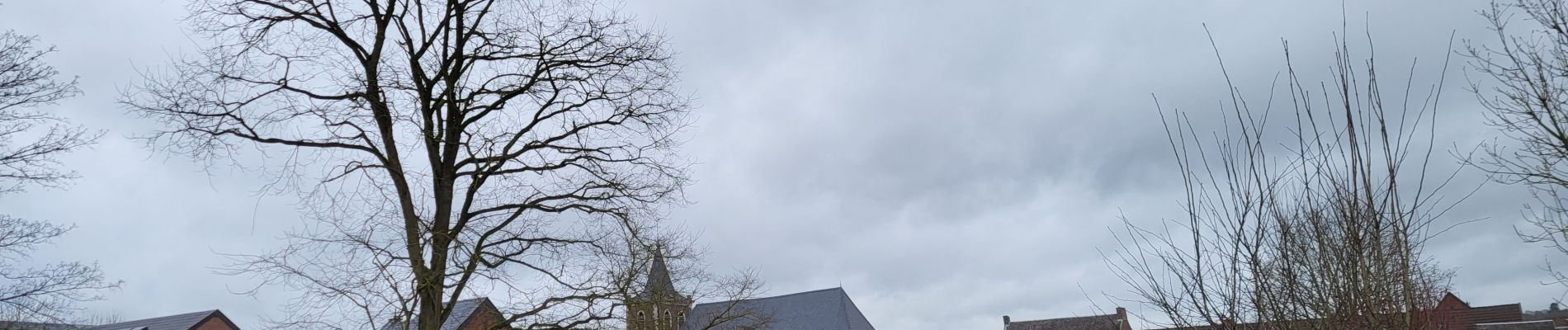
Photos


25 photos in total. Please click on a photo to see them all in the gallery.
Positioning
Country:
Belgium
Region :
Wallonia
Department/Province :
Liège
Municipality :
Wanze
Location:
Unknown
Start:(Dec)
Start:(UTM)
658576 ; 5602344 (31U) N.
Comments