


Laure Minervois les Capitelles

Daron34
User
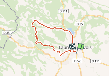

Length
8 km

Max alt
183 m

Uphill gradient
152 m
Km-Effort
10 km

Min alt
76 m

Downhill gradient
152 m
Boucle
Yes
Creation date :
2025-01-09 11:25:56.864
Updated on :
2025-01-09 14:09:37.368
2h41
Difficulty : Medium

FREE GPS app for hiking
 SityTrail
IGN / Geographical institutes
SityTrail Plus
The world is yours!
About
Trail Walking of 8 km to be discovered at Occitania, Aude, Laure-Minervois. This trail is proposed by Daron34.
Description
boucle d environ 7.5kms pour découvrir une quinzaine de Capitelles de Laure Minervois
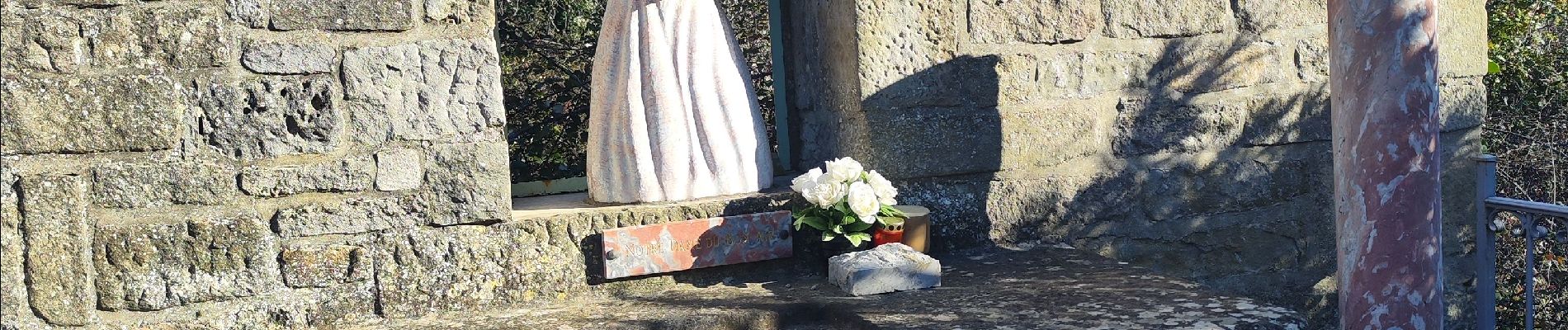
Photos


24 photos in total. Please click on a photo to see them all in the gallery.
Positioning
Country:
France
Region :
Occitania
Department/Province :
Aude
Municipality :
Laure-Minervois
Location:
Unknown
Start:(Dec)
Start:(UTM)
461209 ; 4790841 (31T) N.
Comments