


PSO-150527 - BicheMillyMuletsReine

randodan
User
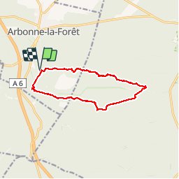


5h50
Difficulty : Easy

FREE GPS app for hiking
 SityTrail
IGN / Geographical institutes
SityTrail Plus
The world is yours!
About
Trail Walking of 12.8 km to be discovered at Ile-de-France, Seine-et-Marne, Arbonne-la-Forêt. This trail is proposed by randodan.
Description
La Biche, le Milly, le Mulet et la Reine.<br>
Tout ça en hors piste ou petit sentier.<br>
- Mercredi 27 mai 2015 -<br>
9h20, départ du parking de Chanfroy.<br>
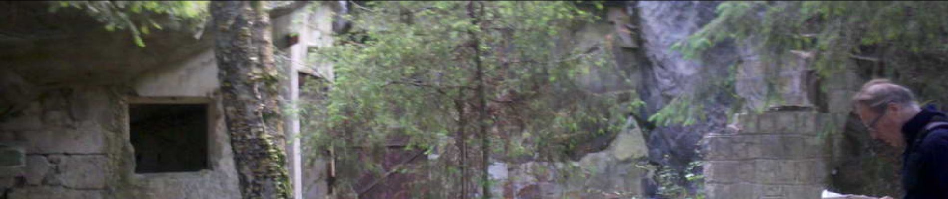
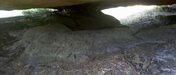
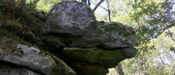
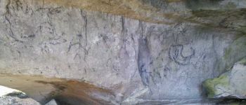
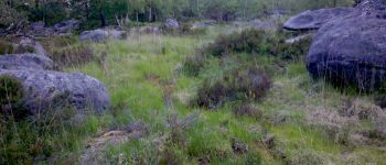
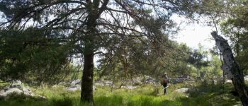
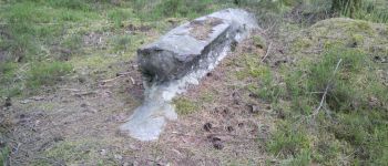
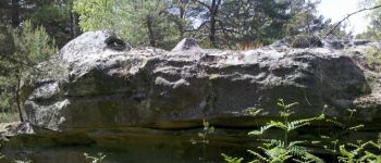
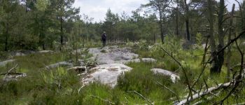
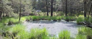
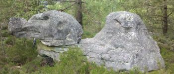
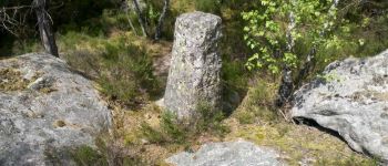
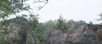
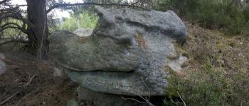
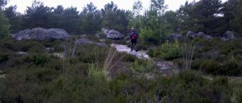
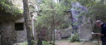
La crête de Corne-Biche en sens inverse de celui habituel me donne l'impression d'un tout nouveau sentier . Une cavité gravée, jamais vue avant . Après coupé le Chemin des Pieds Pourris, on attaque le Rocher de Milly, tout nouveau <u>hors piste</u> . Très jolie lande piquetée de rochers plats . Nombreux rochers remarquables et surtout beaucoup de zones humides . A éviter les lendemains de grosses pluies . En fait, sur une édition IGN de 1985 (!), il existait bien un sentier.<br>
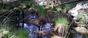
12h30, débouchons sur la Route de la Poche (?), et juste en face, une sympathique mare nous tend ses bras moussus et quelques troncs pour le pique-nique.<br>
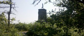
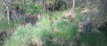
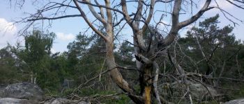
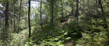
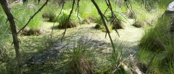
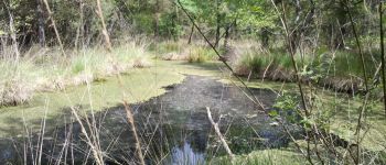
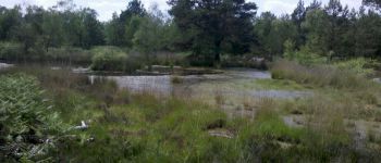
14h, nous repartons avec l'intention de continuer la journée hors piste . Démarrons la Platière de la Touche aux Mulets par une belle grande mare repérée sur la carte . Ici aussi, de beaux rochers remarquables . La Platière se prolonge par le Rocher de la Reine, puis dans la descente de son extrémité Ouest, ça devient vraiment hors piste touffu . C'est presque par hasard qu'on tombe sur l'ancien accès à l'aqueduc souterrain.<br>
16h40 de retour aux voitures.<br>
Journée magnifique.
Photos


23 photos in total. Please click on a photo to see them all in the gallery.
Points of interest

Positioning
Comments