


Pilon Saint Clément

FSantoni
User
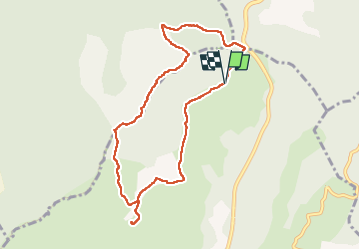


4h55
Difficulty : Difficult

FREE GPS app for hiking
 SityTrail
IGN / Geographical institutes
SityTrail Plus
The world is yours!
About
Trail Walking of 9.4 km to be discovered at Provence-Alpes-Côte d'Azur, Var, Cuers. This trail is proposed by FSantoni.
Description
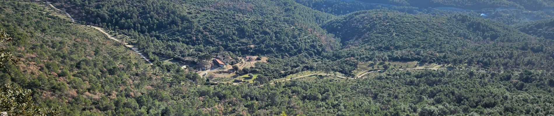
En partant du col de la Bigue, montée vers le pilon saint Clément, puis cheminement le long de la barre de Cuers, puis descente par le pas de Cuers, pique-nique et retour.
Plutôt court, mais avec une belle première montée et surtout des paysages merveilleux !
Photos


Positioning
Comments